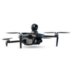

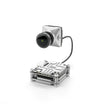

In present day combat, information dominance shapes outcomes. Reconnaissance units depend heavily on defence drones to provide first person view feeds that capture live ground truth.
The challenge for soldiers is not only to fly the drone but also to interpret its feed in a way that transforms raw visuals into usable battlefield intelligence.
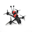
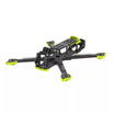
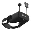
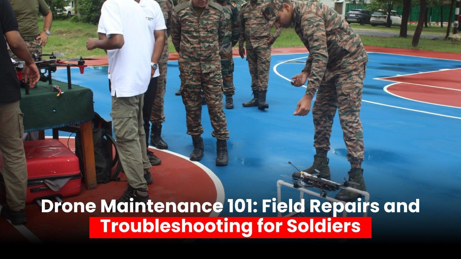
At insidefpv, we focus on advancing FPV drone technology that supports the armed forces with reliable, combat-ready systems.
This guide is built for defence personnel who want to sharpen their ability to decode drone feeds and improve mission effectiveness.
What a Defence Drone FPV Feed Really Shows
When you receive a live drone feed, you are seeing more than just video. A standard feed integrates several streams of information:
-
Electro Optical visuals that provide clarity in daylight
-
Infrared or thermal imagery that highlights heat signatures in darkness or poor visibility
-
Heads Up Display elements that show altitude, speed, heading, battery level, and camera angle
-
Telemetry overlays with GPS coordinates, signal strength, and return to base data
Each of these elements adds layers of intelligence. If you learn to read them together, you gain a three dimensional understanding of the area of operations. If you ignore them, you risk missing critical cues that could expose your unit.
Also read: Real time drone surveillance: What makes it mission critical
Step by Step Guide to Decoding Drone Feeds in Combat
Let us go through a detailed guide on how to decode drone feeds:
Establish Orientation Immediately
Within seconds of viewing the feed, identify direction, landmarks, and shadow lines. This creates a mental map that prevents confusion during rapid maneuvers.
Scan in a Structured Way
Adopt a disciplined scan pattern. Many soldiers use a left to right sweep or divide the feed into four quadrants. This avoids tunnel vision and ensures nothing is missed.
Detect Patterns of Life
Observe how people and vehicles move. Look for repeated routes, supply deliveries, or sudden activity changes. These often reveal staging points, supply caches, or command posts.
Confirm with Multiple Modes
Do not rely on a single camera mode. Use Electro Optical for clear shape recognition and then switch to thermal imaging to validate heat signatures. A parked truck in EO might appear normal, but IR could reveal a hot engine.
Record and Report with Accuracy
Always describe size, activity, location, unit or type, time, and equipment. Keep reports short but precise so they can be acted on instantly.
Also read: How drones are supporting search and rescue in conflict zones
How to Identify Threats Using Electro Optical and Infrared
Electro Optical Feeds
-
Focus on outlines of vehicles, weapons, and fighting positions
-
Observe movement styles. Human walking patterns are steady and rhythmic compared to livestock or decoys
-
Watch for glints from optics, glass, or equipment that give away enemy positions
Infrared and Thermal Feeds
-
Identify heat plumes from running engines, machinery, or campfires
-
Detect body heat signatures which are different from animals and objects
-
Understand that time of day affects heat. Roofs and roads hold warmth after sunset and can distort perception
Combining both modes gives clarity. EO provides structure while IR provides hidden context.
Reading Telemetry and HUD Data with Confidence
The HUD is more than background numbers. It gives you the truth about your system and environment.
-
Altitude and gimbal angle influence what you can see. A high altitude with steep angle flattens the scene. A lower pass with shallow tilt exposes courtyards and alleys
-
Speed and yaw rate matter. Fast movements blur the feed. Slow deliberate motion reveals finer details such as wires or antennas
-
Signal quality and latency indicate whether what you see is real time. Rising latency means your decision loop is delayed
-
Battery status and wind data decide endurance. Always calculate return time before you get trapped over target.
Geolocation and Mapping from FPV Feeds
Accurate location reporting is vital.
-
Always state grid reference before describing the target. Example: Three vehicles moving west from compound, grid 42S XD 1254 6732, 1920 local
-
When GPS is jammed, use landmarks and bearings. Create a reference triangle with visible structures to approximate coordinates
-
Use onboard geotagging to drop pins and save snapshots. This helps analysts and command staff act without delay
Also read: Reconnaissance vs Combat drones: Key differences and use cases
Common Mistakes to Avoid
Avoiding these errors keeps your reconnaissance useful and credible:
-
Misreading motion blur or pixelation as camouflage
-
Hovering too long over an objective, which invites enemy counter action
-
Ignoring HUD data and focusing only on visuals
-
Failing to cross check EO and IR feeds
-
Reporting without grids or timestamps
The Role of Defence Drones in Modern Reconnaissance
Defence drones are no longer support assets. They are frontline tools for Intelligence Surveillance and Reconnaissance. They allow units to:
-
Detect ambushes before they happen
-
Track enemy supply routes
-
Provide overwatch for patrols
-
Feed live intelligence into mission planning
-
Support counter insurgency and urban warfare with precise real time visuals
Mastering FPV feed interpretation transforms them from cameras in the sky into decisive battlefield sensors.
Frequently Asked Questions
How do I reduce video lag during a mission
Lower the data rate if your system allows, reduce sudden yaw, maintain clear line of sight, and aim antennas correctly. Latency improves when the signal path is clean.
What is the fastest way to geolocate a target from a drone feed
Use the HUD grid reference and confirm with landmarks. If GPS is denied, create a triangle from known terrain features and measure bearings.
When should I switch between EO and IR cameras
Switch when contrast is poor or when movement is suspected but not visible. Thermal is stronger at night or in haze, EO is best in daylight with sharp shadows.
How do I keep a stable link in urban operations
Plan for line of sight, position relay drones if available, and avoid flying behind tall buildings where multipath disrupts signals. Directional antennas improve stability.
Which HUD metrics are most important for recon
Altitude, gimbal angle, heading, battery, signal strength, and GPS status. These define what you can see and how long you can stay on station.
