Introduction
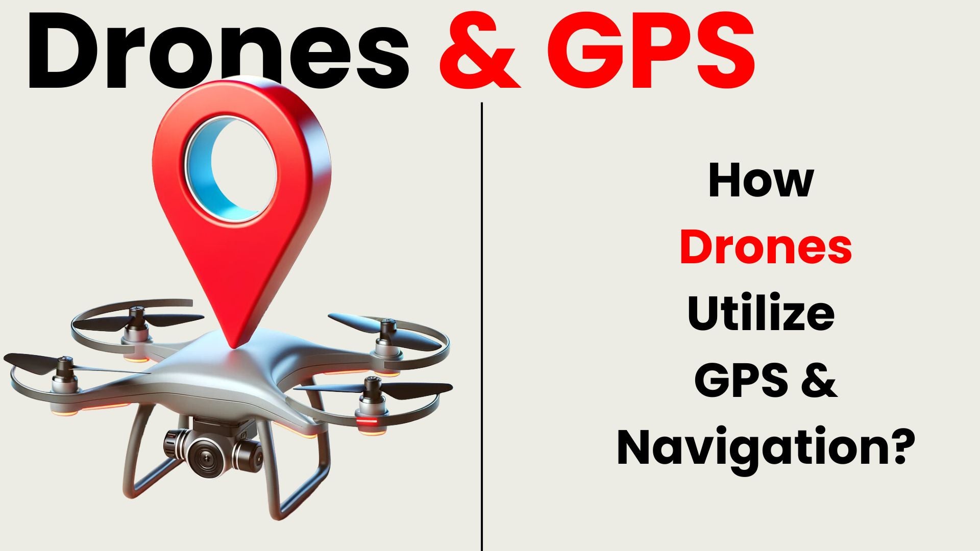
Drones have become an integral part of our lives, being used for a variety of applications from package delivery to photography, surveillance, to public rescue and more. Drones rely on GPS and advanced navigation systems for precise real-time location tracking, crucial for their reliable operation. This article delves into how drones utilize GPS for accurate navigation, ensuring they can take flight with pinpoint precision.
How Drones Use GPS for Positioning and Navigation
Drones rely on the Global Positioning System (GPS) to determine their exact location on the Earth's surface. GPS satellites orbiting the planet transmit signals that are received by the drone's GPS receiver. By triangulating signals from multiple satellites, the drone can calculate its latitude, longitude, and altitude coordinates with high accuracy.
Once the drone knows its location, it can use this information for navigation purposes. By continuously updating its position relative to its destination, the drone can follow a predefined flight path or respond to commands from the operator to reach specific waypoints or locations. GPS also allows drones to maintain stable hovering positions, which is essential for tasks such as aerial photography, surveying, or surveillance.
Some key ways drones use GPS data:
Determine Current Position
GPS is fundamental for drones to accurately determine their current position in real-time. By receiving signals from GPS satellites, drones can precisely pinpoint their latitude, longitude, and altitude coordinates. This information is crucial for both manual piloting by operators and automated flight control systems to ensure the drone's precise location awareness at all times.
Navigation and Route Planning
Using GPS coordinates, drones compare their current position with designated waypoints programmed into the flight controller. This comparison enables drones to chart the most efficient route to their destination. By following pre-planned paths or reaching specific waypoints, drones can navigate with precision and accuracy. This capability allows for various applications, such as aerial surveys, search and rescue missions, or delivery services, where precise navigation is essential for successful operation.
Geofencing
GPS facilitates geofencing, a crucial feature in drone technology. Geofencing allows drones to be programmed with virtual boundaries, and when these boundaries are crossed, the drone reacts accordingly. This feature is vital for maintaining safety and security by containing drones within designated airspace, preventing them from entering restricted areas such as airports or private properties. Geofencing helps ensure regulatory compliance and enhances overall control over drone operations, minimizing the risk of accidents or unauthorized access.
Return-to-Home
In the event of a lost connection with the remote pilot, drones activate their failsafe Return-to-Home mode, a crucial safety feature. Leveraging GPS technology, drones autonomously navigate back to their designated home point. This ensures that in situations where manual control is disrupted or communication is lost, the drone can safely retreat to its initial launch location. Return-to-Home mode provides peace of mind to operators and helps prevent potential accidents or loss of the drone.
Stability Augmentation
GPS provides crucial positioning data to the autopilot system onboard drones. This data is processed in real-time to stabilize and adjust the drone's flight path, compensating for external factors like wind or minor deviations due to human error. By continuously analyzing GPS data, the autopilot can make rapid corrections, ensuring smoother and safer flights. This capability is essential for maintaining stability and accuracy, particularly in challenging environmental conditions or when navigating complex flight paths.
How Drones Maintain Accuracy and Reliability in Navigation
While GPS provides location within acceptable accuracy ranges for general applications, certain professional use cases call for centimeter-level precision. Drones achieve this through:
Differential GPS
Drones enhance their positioning accuracy by utilizing fixed ground-based reference stations with precisely surveyed locations. These stations transmit signal correction data to the drones, allowing them to account for timing and positioning errors. By integrating this correction data, drones can compute highly accurate positioning information. This method significantly improves the reliability and precision of drone navigation, enabling them to execute tasks with greater efficiency and effectiveness, especially in scenarios where precise positioning is critical, such as surveying or mapping missions.
RTK GPS
Advanced drones often incorporate Real Time Kinematic (RTK) GPS technology, comprising a base station and rover setup. This system enhances positioning accuracy to centimeter-level precision in real-time. The base station serves as a reference point, while the rover, mounted on the drone, receives corrections from the base station to refine its GPS coordinates. This high-precision positioning is particularly valuable in applications such as construction development and surveying, where precise navigation and mapping are essential.
Sensor Fusion
Drones integrate gyroscopes, accelerometers, barometers, and other sensors to gather supplementary data on factors like speed, orientation, and altitude. Through sensor fusion algorithms, this information is combined with GPS data to enhance accuracy and reliability. By blending inputs from various sensors, drones can compensate for any limitations or errors in individual systems, ensuring precise navigation and flight control. This sensor fusion approach optimizes performance, allowing drones to operate effectively in diverse environments and conditions.
Redundant GPS Modules
Critical drones incorporate dual or even triple modular redundant GPS receivers to enhance reliability. These redundant systems offer backup navigation capabilities, ensuring continued operation in the event of a single receiver failure. By cross-checking GPS outputs from multiple receivers, drones can detect and correct any discrepancies, maintaining accurate positioning and navigation even if individual components malfunction during flight. This redundancy is crucial for ensuring the resilience and safety of drones, particularly in mission-critical applications.
Overcoming GPS Signal Loss
Despite the reliability of GPS, interference or loss of satellite signals can still occur exposing one of the core weaknesses of relying on this technology. Solutions include:
Backup Navigation Modes
In addition to GPS, drones often integrate alternate navigational modes such as optical flow, visual odometry, or visual inertial odometry systems. These systems utilize sensors like cameras, lasers, or ultrasonic devices to track the drone's movement relative to its surroundings. If GPS connectivity is hindered, these alternate modes seamlessly take over control, allowing the drone to maintain stability and navigate accurately by relying on visual cues or inertial measurements. This redundancy enhances the drone's reliability and adaptability in various environments.
Dead Reckoning
In instances where GPS signal is temporarily lost, drones utilize stored path vectors from their last known GPS position. Through accelerometers and gyroscopes, they monitor changes in direction, speed, and altitude. By calculating these changes, drones estimate their position during signal loss. This allows them to continue flight operations safely and accurately until GPS signals are reacquired, ensuring smooth navigation and operational continuity even in challenging environments.
The Future of Drone Navigation Technology
Engineers are actively exploring alternative navigation technologies to reduce reliance on GPS in drones. This includes ultra-wideband positioning systems, which offer high-precision location tracking, as well as LIDAR-based SLAM (Simultaneous Localization and Mapping) technologies for mapping and navigation in complex environments. Indoor navigation solutions utilize Wi-Fi signals or machine vision to enable drones to operate indoors or in GPS-denied areas. These advancements signify a promising future for drone flight, expanding their capabilities and applications in various scenarios.
Conclusion
GPS and precise navigation are essential for drones to function properly. They use satellite signals and advanced processing to determine exact locations, plan routes, maintain steady flight, and perform tasks like take-offs and landings autonomously. Ongoing advancements aim to enhance system resilience by incorporating redundancy and hybrid positioning, reducing reliance on any single technology and improving performance in areas with poor signal coverage.
FAQ
How does a drone use GPS for navigation?
Drones use an onboard GPS receiver to continuously pinpoint location by triangulating signals from multiple satellites orbiting Earth. By comparing real-time GPS coordinates to pre-set destinations in autopilot systems, drones can chart optimal routes and navigate precisely towards target waypoints or along planned flight paths.
Why is a stable GPS connection crucial for drones?
A stable, real-time GPS fix is essential for drones to maintain awareness of position, altitude, and orientation. GPS connectivity allows autopilot systems to make constant corrections, enabling precise hovering, smooth flights, and navigation accuracy. Loss of signal can cause safety issues and uncontrolled behavior if alternatives like visual navigation are unavailable.
How do drones navigate when a GPS signal is lost?
Drones use backup modes like visual navigation, stored inertial dead reckoning data, or alternate sensors like optical flow to temporally maintain stability and estimate position if GPS connectivity is disrupted. These redundancies allow continuity of controlled flight until signals reacquire or drones switch to Return-to-Home mode for safe landing if timeouts are exceeded.

