


Introduction
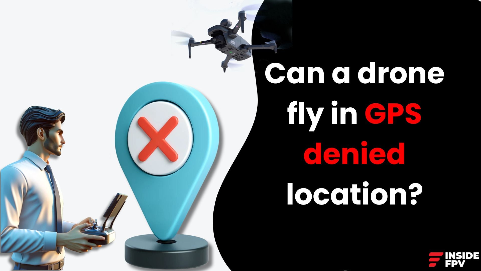
The ability to fly drones in GPS denied environments is a significant milestone in the world of unmanned aerial vehicles (UAVs). GPS, or Global Positioning System, is a crucial component for most drones, providing them with accurate location data and enabling features like autonomous flight and precise navigation. However, there are situations where GPS signals can be unavailable, unreliable, or even intentionally jammed, posing a challenge for drone operations. Overcoming this limitation opens up new possibilities for drone deployment in various applications.
What are GPS Denied Locations?
GPS denied locations are areas where the satellite signals required for GPS navigation are obstructed, degraded, or intentionally blocked. This can occur in urban canyons, where tall buildings obstruct the line of sight to GPS satellites, or in indoor environments like warehouses or mines where GPS signals cannot penetrate. Additionally, GPS jamming or spoofing techniques can be used to disrupt or manipulate the signals, rendering them unusable for navigation purposes.
Vision-Based Navigation: The Key to Flying Without GPS
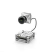
To operate drones in GPS denied locations, manufacturers have turned to alternative navigation methods that rely on visual data rather than satellite signals. Vision-based navigation systems use onboard cameras and sophisticated computer vision algorithms to analyze the drone's surroundings and determine its position and orientation relative to its environment.
Machine Learning and Simultaneous Localization and Mapping (SLAM)
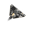
At the heart of vision-based navigation lies machine learning and Simultaneous Localization and Mapping (SLAM) technologies. SLAM algorithms enable drones to construct a 3D map of their environment in real-time while simultaneously tracking their own position within that map. This is achieved by analyzing visual cues, such as distinctive features or landmarks, from the drone's camera feed.
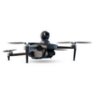
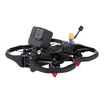
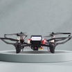
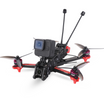
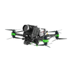
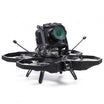
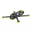
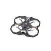
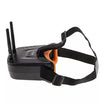
Companies like insideFPV have made significant advancements in this field, incorporating transformative and latest algorithms into their drone models, allowing them to operate seamlessly in GPS denied locations.
Benefits of Flying in GPS Denied Environments
The ability to fly drones in GPS denied locations unlocks a wide range of applications and use cases:
- Search and Rescue Operations: Drones can be deployed in collapsed buildings, mines, or other GPS-denied environments to assist in search and rescue efforts, providing critical situational awareness and potentially saving lives.
- Industrial Inspection: Vision-based navigation enables drones to inspect confined spaces, such as tanks, pipelines, or industrial machinery, where GPS signals are unavailable or unreliable.
- Indoor Mapping and Surveying: With the ability to navigate indoors, drones can create detailed 3D maps and models of building interiors, streamlining construction planning, facility management, and real estate applications.
- Military and Security Operations: GPS denied navigation allows drones to operate in environments where GPS jamming or spoofing is employed, enhancing their utility in military and security operations.
- Warehouse and Inventory Management: Drones can autonomously navigate and monitor inventory levels in large warehouses or storage facilities, optimizing logistics and supply chain management.
- Exploration and Surveying in Remote Locations: In areas with limited or no GPS coverage, such as remote wilderness or underground caves, drones can still be used for exploration, mapping, and surveying purposes.
Overcoming Challenges and Limitations
While vision-based navigation has made significant strides, it still faces challenges and limitations. These include:
Computational Power:
Processing visual data and running SLAM algorithms in real-time requires substantial computational power, which can strain the limited resources of drones.
Environmental Conditions:
Factors like low light, smoke, or featureless environments can make it difficult for vision-based systems to accurately perceive and map their surroundings.
Scale and Complexity:
As environments become larger and more complex, the computational demands and potential for errors in vision-based navigation increase.
Continuous research and development efforts are underway to address these challenges, with advancements in hardware, algorithms, and sensor fusion techniques contributing to more robust and reliable vision-based navigation systems.
Conclusion
The ability to fly drones in GPS denied locations represents a significant technological achievement, opening up new frontiers for drone applications. By leveraging vision-based navigation, machine learning, and SLAM algorithms, drones can operate in environments where GPS signals are unavailable or unreliable. This capability has far-reaching implications for industries such as search and rescue, industrial inspection, indoor mapping, military operations, and more.
As technology continues to evolve, vision-based navigation systems will become more robust, efficient, and capable of handling increasingly complex environments. Companies like insideFPV, which have already made strides in this field, will play a crucial role in driving innovation and bringing these cutting-edge solutions to the market.
Ultimately, the ability to fly drones in GPS denied locations not only expands the scope of drone operations but also unlocks new possibilities for exploration, data collection, and automation across various sectors, contributing to the continued growth and advancement of the drone industry.
